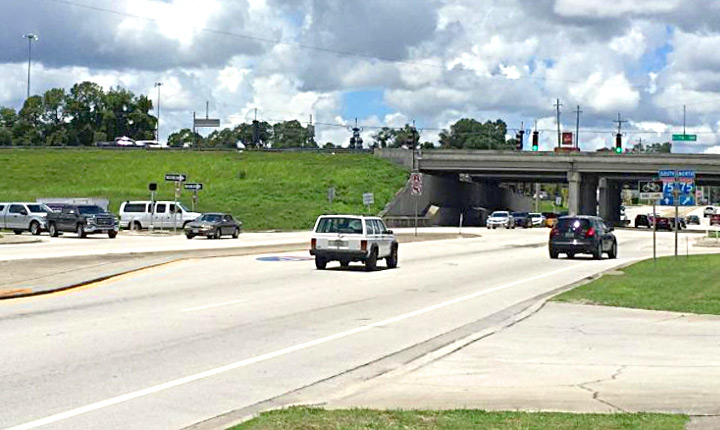
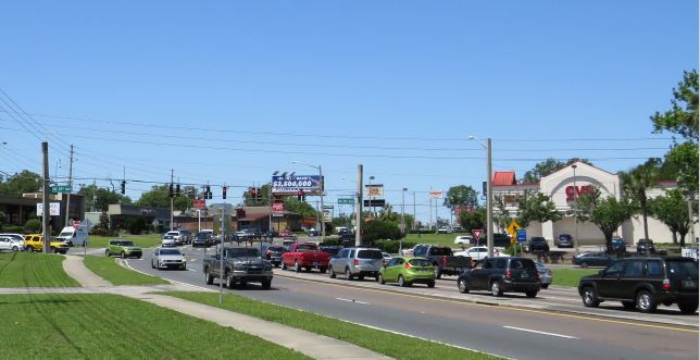
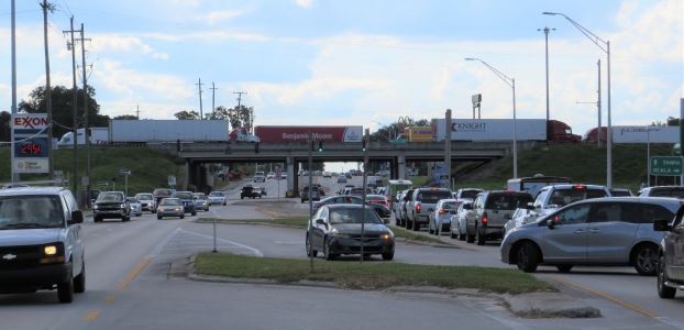
The TPO maintains current reports and information about the transportation system in Marion County, which are collected by our partner agencies. Links to external transportation resources and information are also provided
Traffic Counts
Story Map
Learn more about why traffic counts are collected, how they are used, and who is responsible for conducting counts in Marion County.
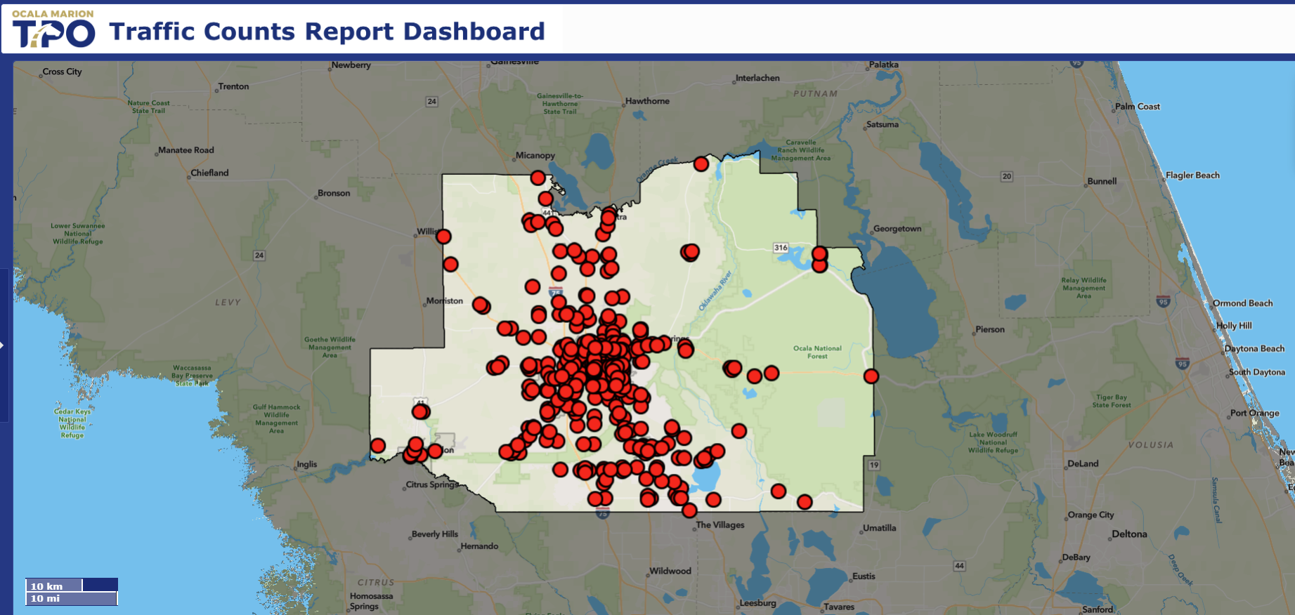
Interactive Traffic Count Dashboard
Locate traffic count data between 2020 - 2024 for count locations throughout Marion County.
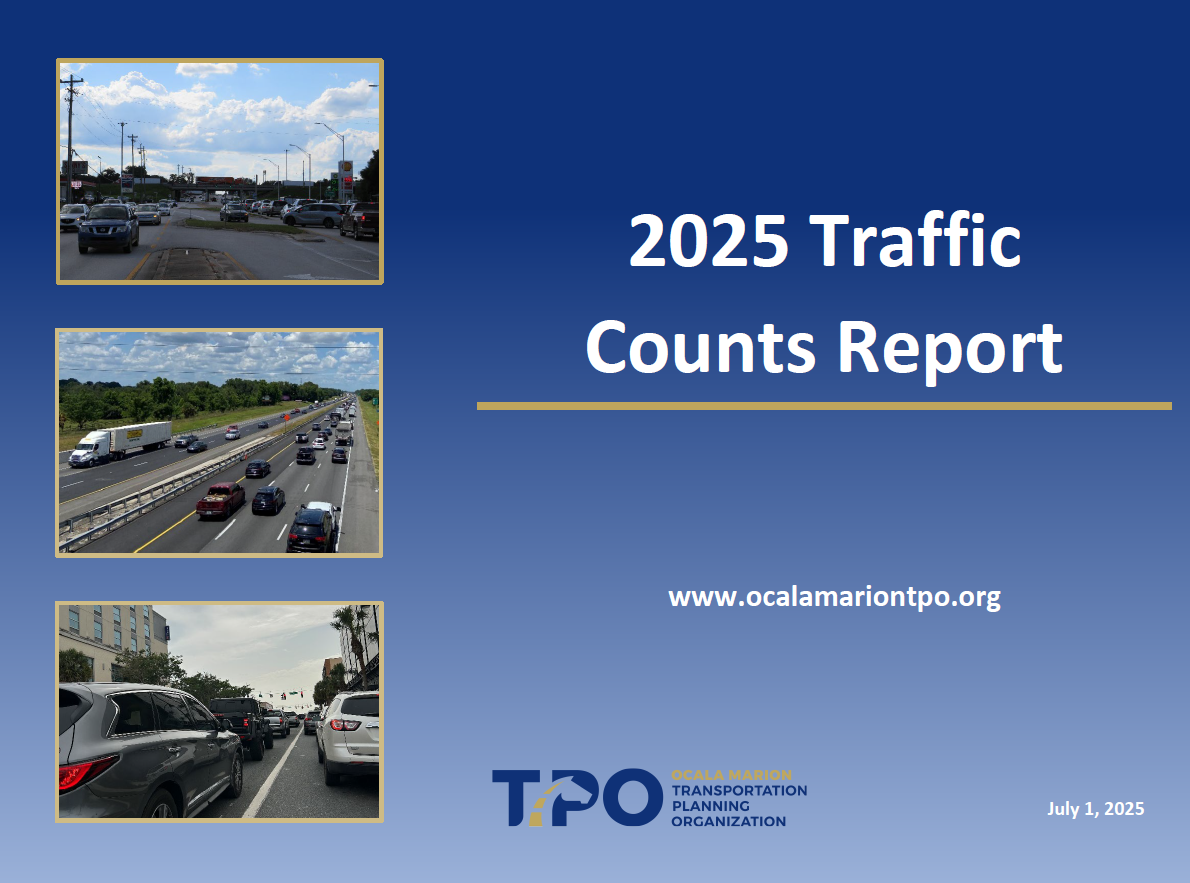
2025 Traffic Counts Report
View most recent version of the Traffic Counts Manual published in 2025.
2024 Traffic Counts Report
View previous version of the Traffic Counts Manual published in 2024.
2023 Traffic Counts Report
View previous version of the Traffic Counts Manual published in 2023.
2022 Traffic Counts Report
View the previous version of the Traffic Count Manual published in 2022.
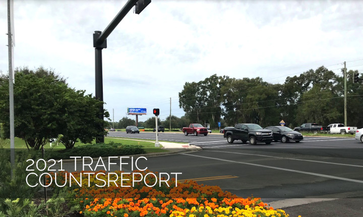
2021 Traffic Counts Report
View the previous version of the Traffic Count Manual, which includes data between 2016 and 2020.
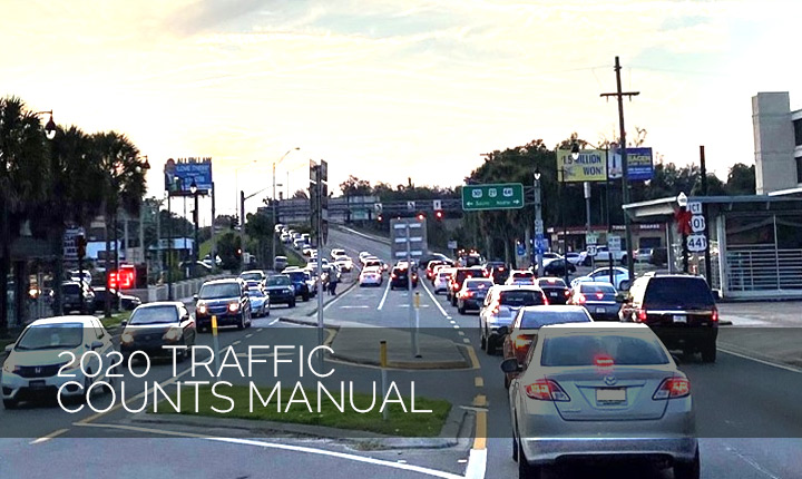
2020 Traffic Counts Manual
View the previous version of the Traffic Count Manual, which includes data between 2015 and 2019
Safety Information
Commitment to Zero Dashboard
Locate crashes in Marion County from 2019 to 2023 and view crash locations and information by zooming in and out and selecting points on the map.
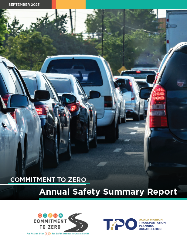
Commitment to Zero 2024 Annual Report
A 5-year snapshot of safety outcomes in Marion County and resource for citizens, elected leaders and public agencies with an interest in transportation safety trends.
Commitment to Zero Executive Summary Report
A 2-page overview of the Commitment to Zero 2024 Annual Safety Summary Report. Safety Performance Measures for 2019 to 2023 are available for a quick view as well as some high level crash statistics.
Commitment to Zero 2023 Annual Report
A 5-year snapshot from 2018 to 2022 of safety outcomes in Marion County and resource for citizens, elected leaders and public agencies with an interest in transportation safety trends.
Congestion Management
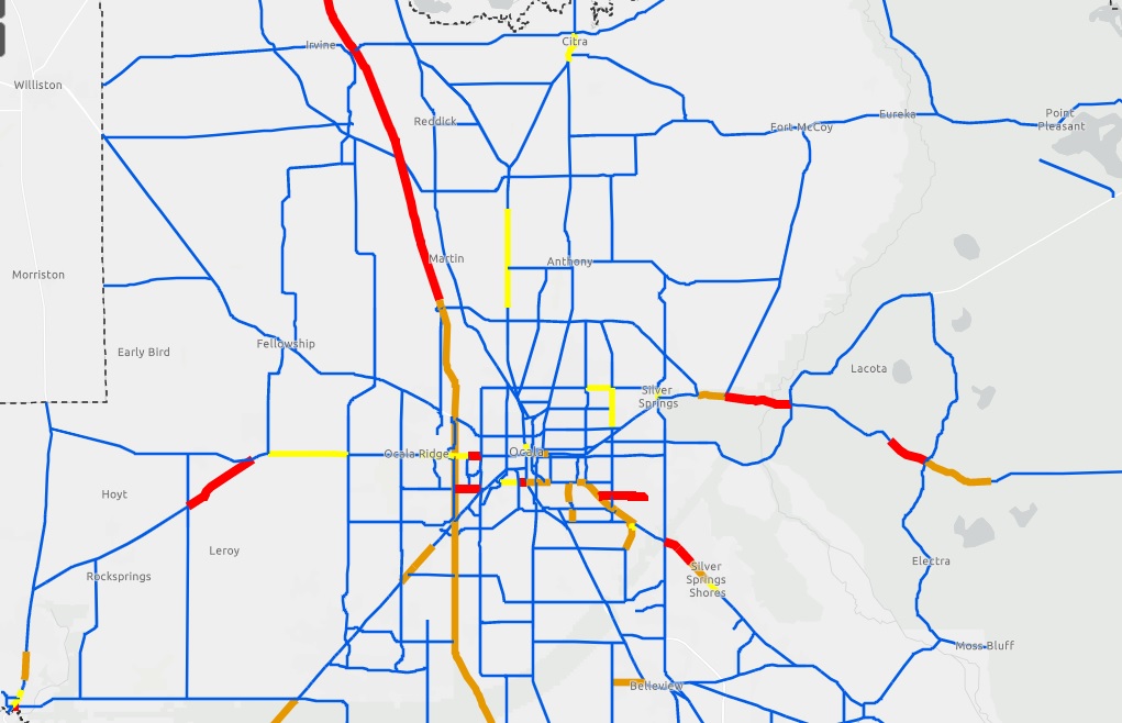
Congested Roadway Locations
In the CMP, roadways are identified as Not Congested, Approaching Congestion, Congested or Extremely Congested. To learn more about the CMP and view the current State of the System of congestion in Marion County, visit the TPO website under Plans and Programs and select the Congestion Management Process.
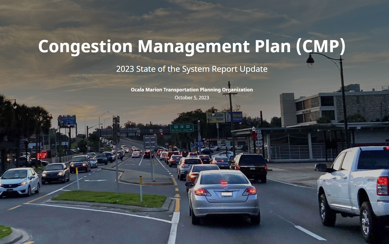
Congestion Management Plan Storymap
The Congestion Management Storymap will give a brief overview on congestion management including level of service and congested corridors in Marion County.
2023 State of the System Report
View the latest report on the Marion County's Congestion Management Plan - the 2023 State of the System Report.


