


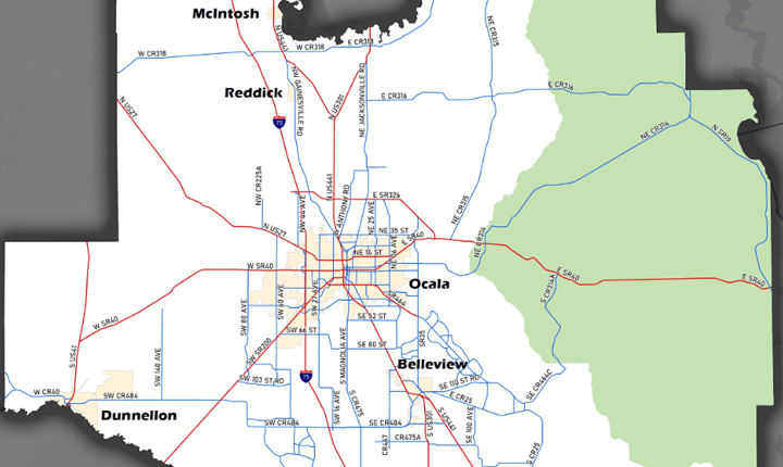
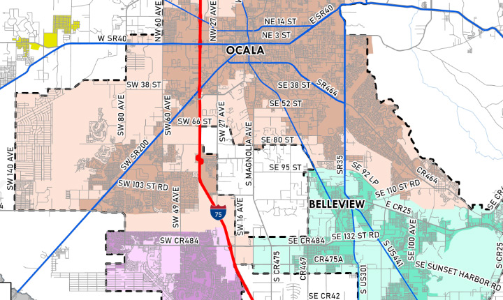
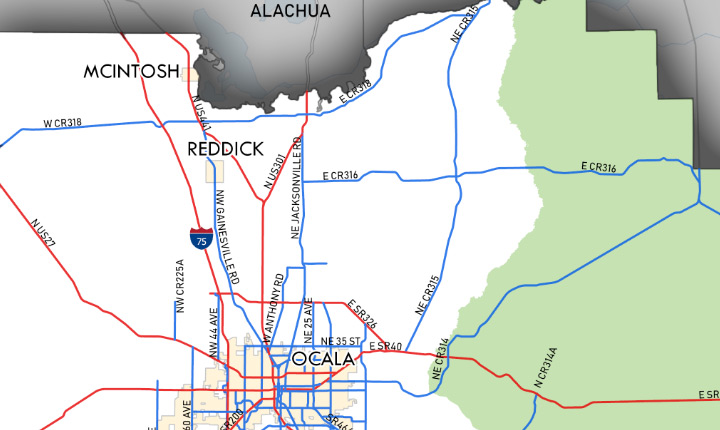
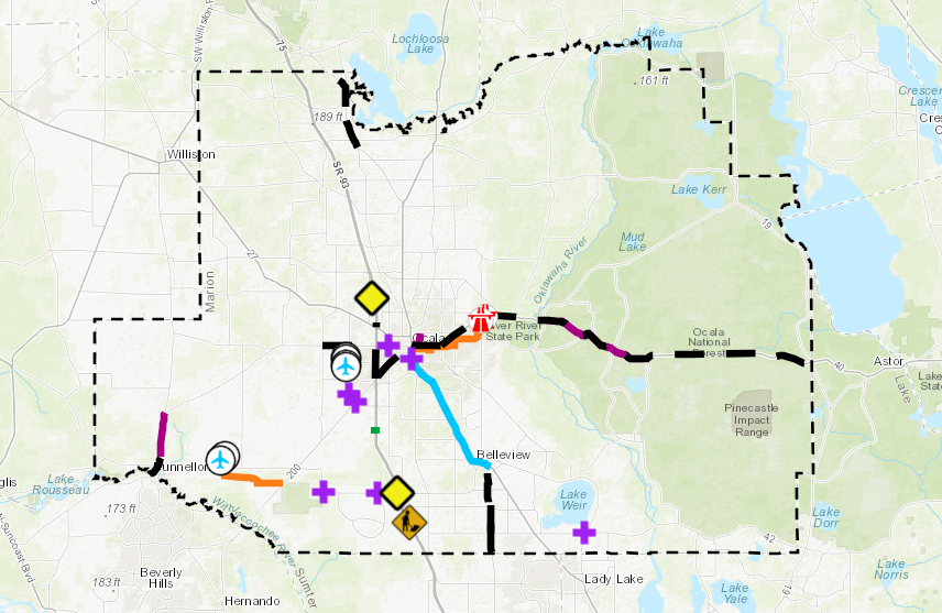
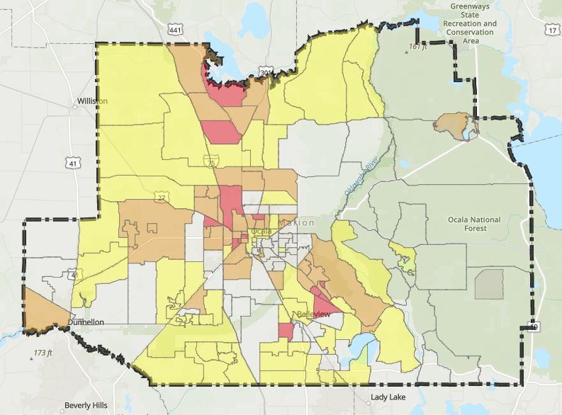
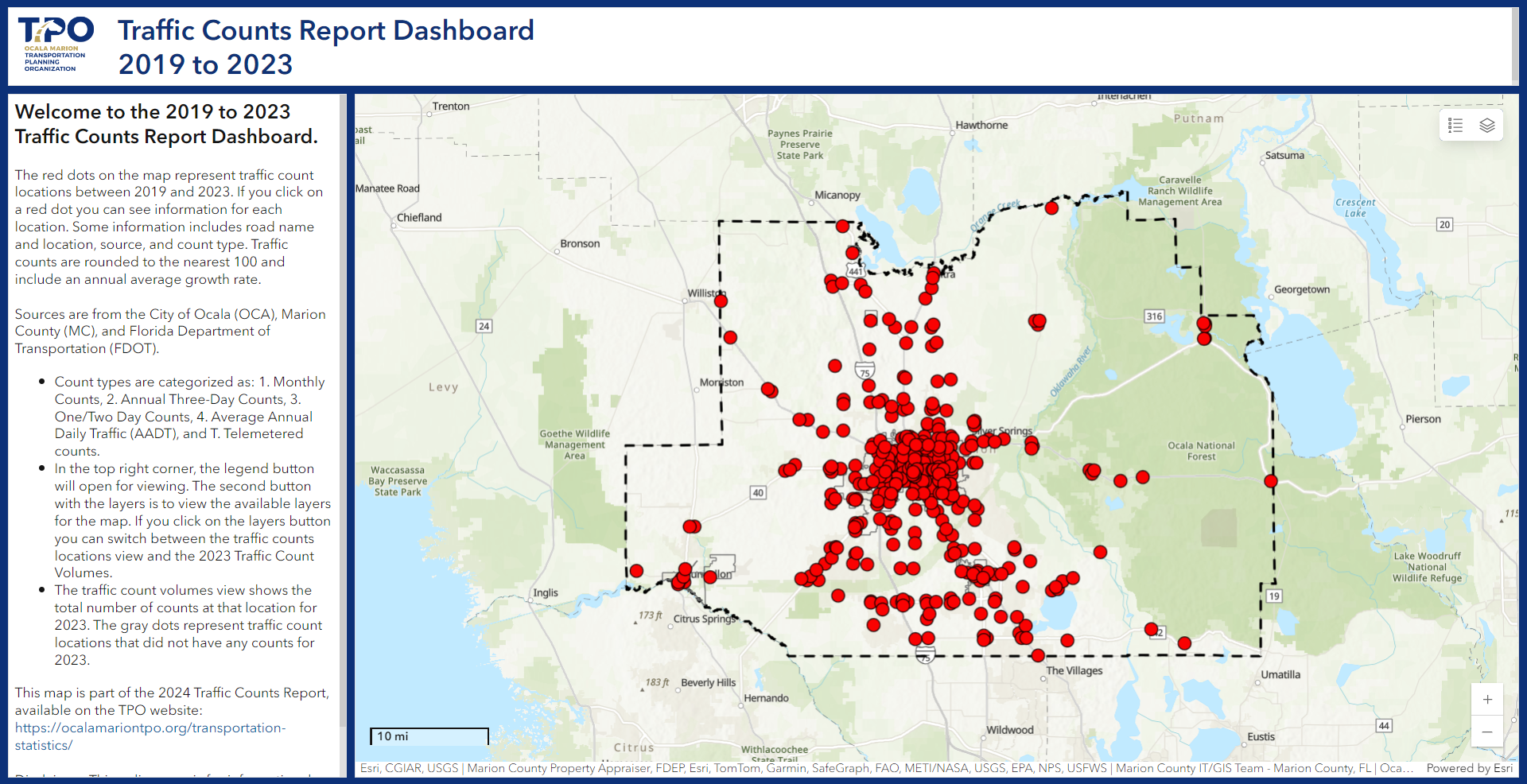
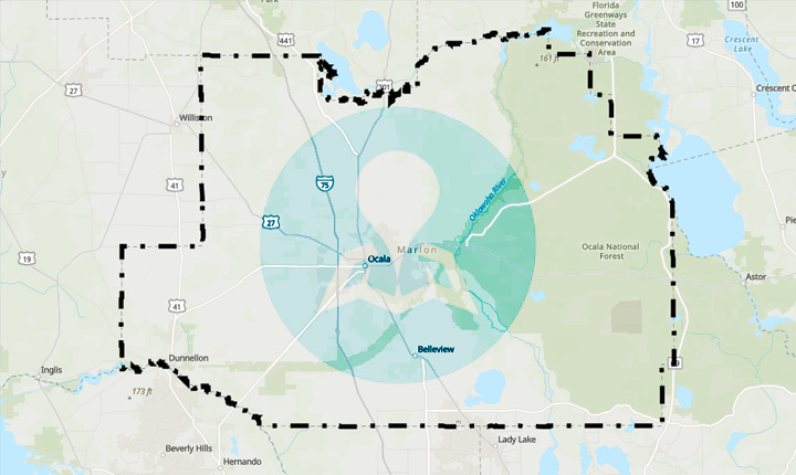
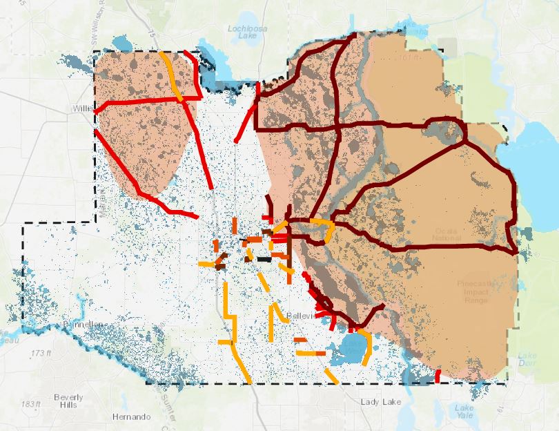
The Ocala Marion TPO provides a wide range of maps to visually communicate information about our region to policy-makers and the public. The TPO manages a gallery of both static and interactive maps that display transportation projects, traffic counts, safety and other information. Please click on the link associated with the program topic to view a static or online interactive map.

Quick Links
GET IN TOUCH WITH US


CONFIRM..!
You are about to leave this page. Are you sure you want to leave this page?
© Ocala Marion County Transportation Planning Organization (TPO). All Rights Reserved.